Virtual Forest
Creating a virtual forest based on information obtained via terrestrial and airborne 3D scans
Description:
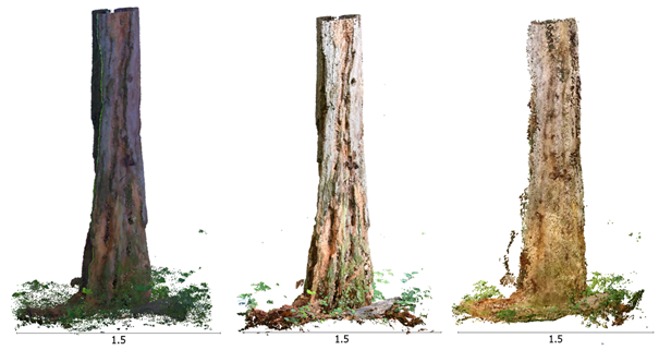
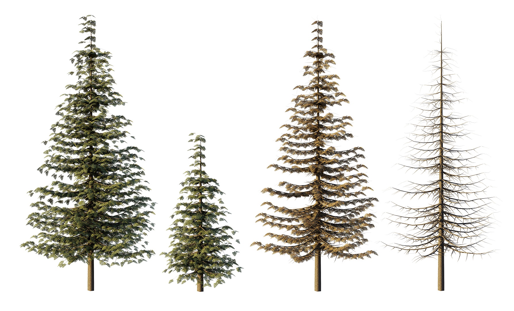
In this project we are developing the building blocks required to create a virtual forest based on information obtained via terrestrial and airborne 3D scans. The work aims to create an integrated information system for forests. In this regard, we investigate the whole range of the workflow both from the technical and human interaction aspects: data acquisition (photogrammetry, lidar, and low-cost alternatives), data processing, and data visualisation (VR, AR, and MR). These building blocks will eventually be linked with landscape level planning tools, allowing to showcase future forest structures and characteristics depending on various forest management scenarios as well as changing environmental conditions. Findings will enhance our understanding of the forest structures and characteristics required to provide specific ecosystem services, and will facilitate communication between science, industry, and the general public.
Principal Collaborators:
- Dr. Arnadi Murtiyoso, ETH Zurich
- Cyprien Fol, ETH Zurich
- Michelle Weber, Zürcher Hochschule der Künste (ZHdK)
Students:
- Lina Muntwyler (BSc thesis, 2023)
External partners (joint research and papers):
- Swiss Federal Institute for Forest, Snow and Landscape Research WSL
- Yasuaki Kakehi Laboratory, University of Tokyo
- 3D Optical Metrology, FBK Trento
- 3DForEcoTech COST Action
Publications:
- Weber, M. S. (2023), 3D Tree Model Creation – Process Documentation. Internship report.
- Murtiyoso, A., Hristova, H., Rehush, N., and Griess, V. (2022). Low-cost Mapping of Forest Under-storey Vegetation Using Spherical Photogrammetry, Int. Arch. Photogramm. Remote Sens. Spatial Inf. Sci., XLVIII-2/W1-2022, 185–190.
- Fol, C. R., Murtiyoso, A., and Griess, V. C. (2022). Feasibility Study of Using Virtual Reality for Interactive and Immersive Semantic Segmentation of Single Tree Stems, Int. Arch. Photogramm. Remote Sens. Spatial Inf. Sci., XLVIII-2/W1-2022, 95–99.
- Fol, C. R., Murtiyoso, A., and Griess, V. C. (2022). Evaluation of Azure Kinect Derived Point Clouds to Determine the Presence of Microhabitats on Single Trees Based on the Swiss Standard Parameters, Int. Arch. Photogramm. Remote Sens. Spatial Inf. Sci., XLIII-B2-2022, 989–994

